

Map the world.Build the next signal.
Geomatics Engineering Student Society — a technical community for surveying, sensing, geospatial systems, and the engineers who locate everything.
Not a generic club site.A geomatics ops surface for Schulich engineers.
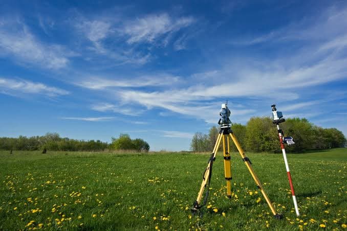
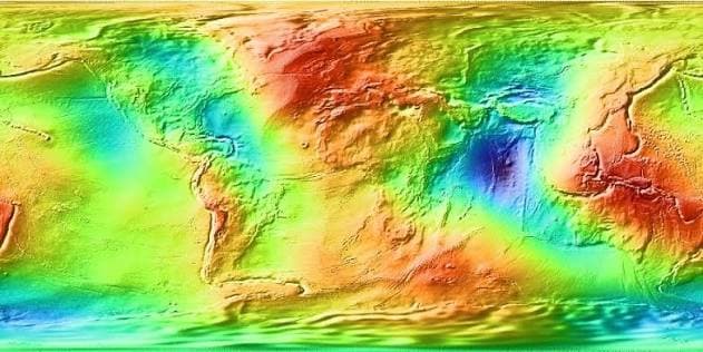
GESS connects students across surveying, remote sensing, GIS, GNSS, and digital twins — with events, industry nights, and a self-serve content portal that keeps the public site current.
Location is infrastructure.Six ways geomatics engineers shape the spatial world.

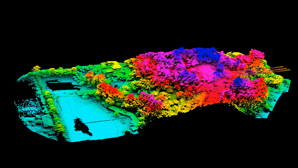
Autonomous systems
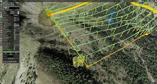
Remote sensing and spatial perception for the next generation of vehicles and robots.
Geomatics engineering sits at the intersection of surveying, remote sensing, GIS, GNSS, and spatial computing. Learn more from the University of Calgary Department of Geomatics Engineering.
Featured acquisition
Workshops, industry nights, competitions, and socials — curated by the executive team.
Ready to lock on?
Membership, partnerships, and collaborations start with a message.